


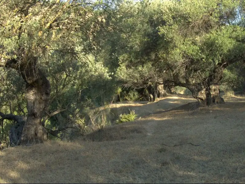
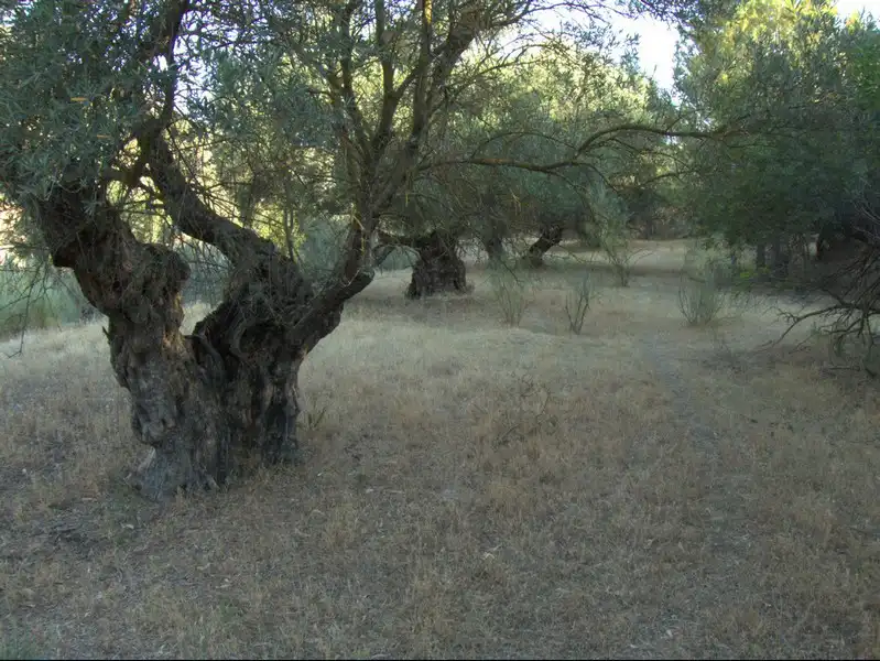
We will take the Municipal Sports Centre as the starting and finishing point for the route described below. It is a popular route for cyclists, on which we will climb continuously until we reach the highest point at Pinalejo, and then descend sharply to the Corbones Reservoir. The return route will be similar to the outward route, but we will return by road. We can also go to Puerto de la Encina and return, or climb up to Pinalejo and return. In our case, we have mapped out the longest route, reaching the El Corbones dam.
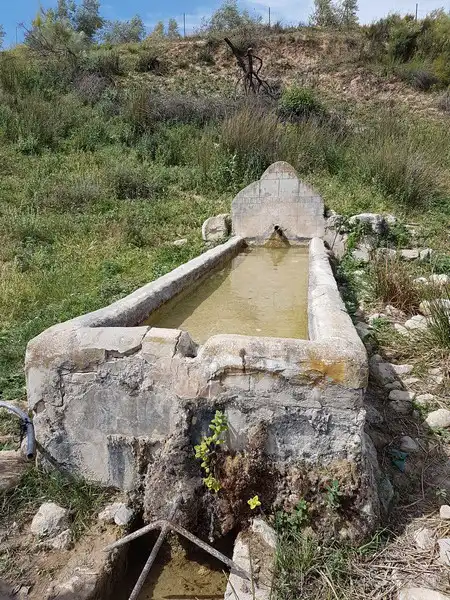
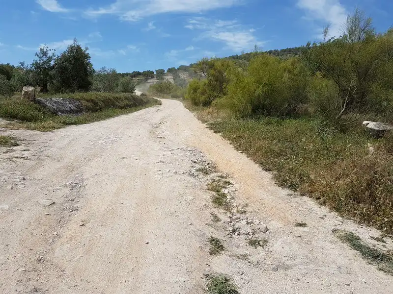
We leave the Municipal Sports Centre and head towards the ‘Vereda de La Calderona’ trail, which we access by passing under the ‘A-92’ bridge. Once on the trail, we continue forward, crossing the ‘Arroyo del Salado’ stream. passed under the railway line and continued on, crossing the Arroyo de Marchelina, Arroyo del Saltillo, Arroyo del Peinado and, finally, Arroyo del Agujetero, taking some care on the latter as it is an area that tends to flood during the rainy season.
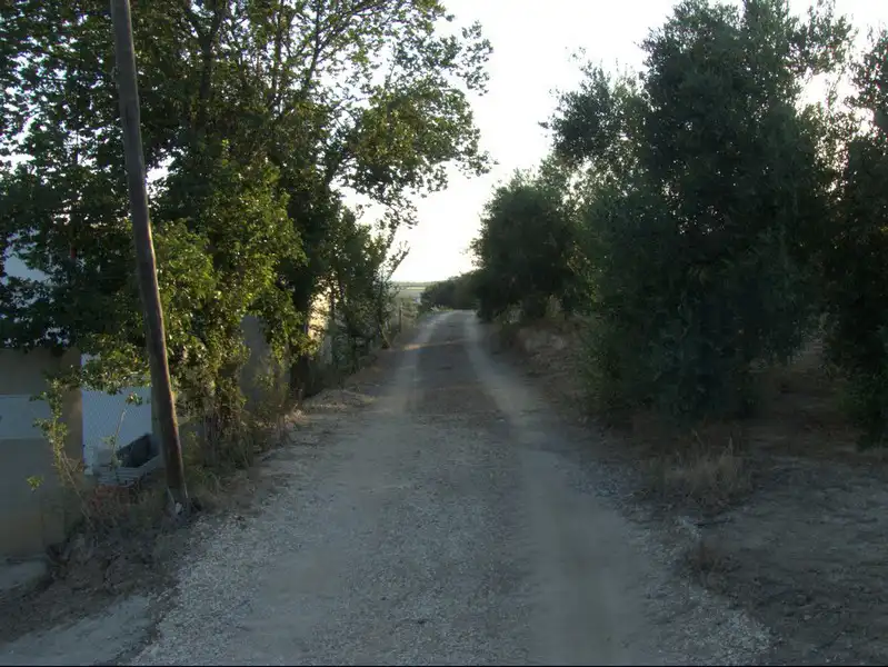
We arrive at a crossroads where we must turn left onto the ‘Vereda de la Puebla a Cañete’ path, which leads us to the ‘SE-8204’ road (Carretera del Puerto de la Encina), passing first by the ‘Cortijo del Agujetero’ farmhouse.
Giramos a la derecha para entrar en la carretera y continuamos por ella hasta llegar a “El Puerto de La Encina”. Atravesamos esta pedanía para tomar la carretera “SE-466” en la que tras cruzar por una gran zona montañosa llamada “El Pinalejo” acabamos llegando a un cruce de carreteras donde debemos tomar la “SE-452” girando a la izquierda para continuar descendiendo hacia el “Embalse del Corbones”.
Once we reach the reservoir, we will have to take the same route back, but without leaving the SE-8204 road (Carretera del Puerto de la Encina) until we connect with the A-451 road (Carretera del Saucejo), which finally takes us back to Osuna.