


| TRAIL TYPE | NAME | TIME | DISTANCE |
|---|---|---|---|
| SL-A 160 | Río Corbones | 1h y 45min | 6,2 km |
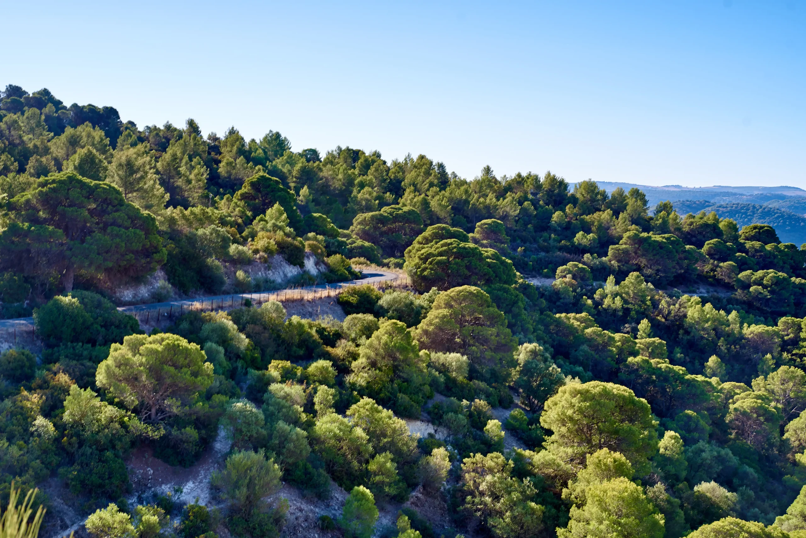
The trail begins next to the Ratera Nueva farmhouse, where we take the final stretch of the Vereda del Moralejo trail. Continuing along this trail, we reach the ancient well located at the intersection with the Chinchal trail, which we leave on our right to enter the olive groves of the Almendro farmhouse. When you see the farmhouse, take the entrance road and skirt around the farmstead to continue until you leave the olive groves and enter the scrubland populated by Mediterranean shrubs, wild olive trees and mastic trees planted for reforestation. Continue along the path that runs alongside the Cana stream ravine. At the bottom of the ravine, you will see typical riverside vegetation. Continue through rugged terrain until you reach a fence with a gate (which you will open and close after passing through) and watch as the landscape begins to soften until you reach the river plain among broom and palm trees. This is the bank of the River Corbones, where we will begin to enjoy a bucolic landscape of white poplars with eucalyptus trees in the background and the grove of an old orchard with fig, pomegranate and olive trees. The ruins of the old farmhouse complete this beautiful landscape, where the sound of the Corbones River, muffled by the trees, blends with the song of the woodpecker that lives among the poplars. Without a doubt, we are looking at one of the most beautiful landscapes in our great unknown Sierra Sur, classified as a ‘Site of Community Interest’ and the natural habitat of a large number of species of flora and fauna. In addition, this place still holds the old stories in which the waters of the Corbones were used to power famous mills, such as the nuns' mill, where neighbours from all over came and where black market trading was commonplace in those difficult times.
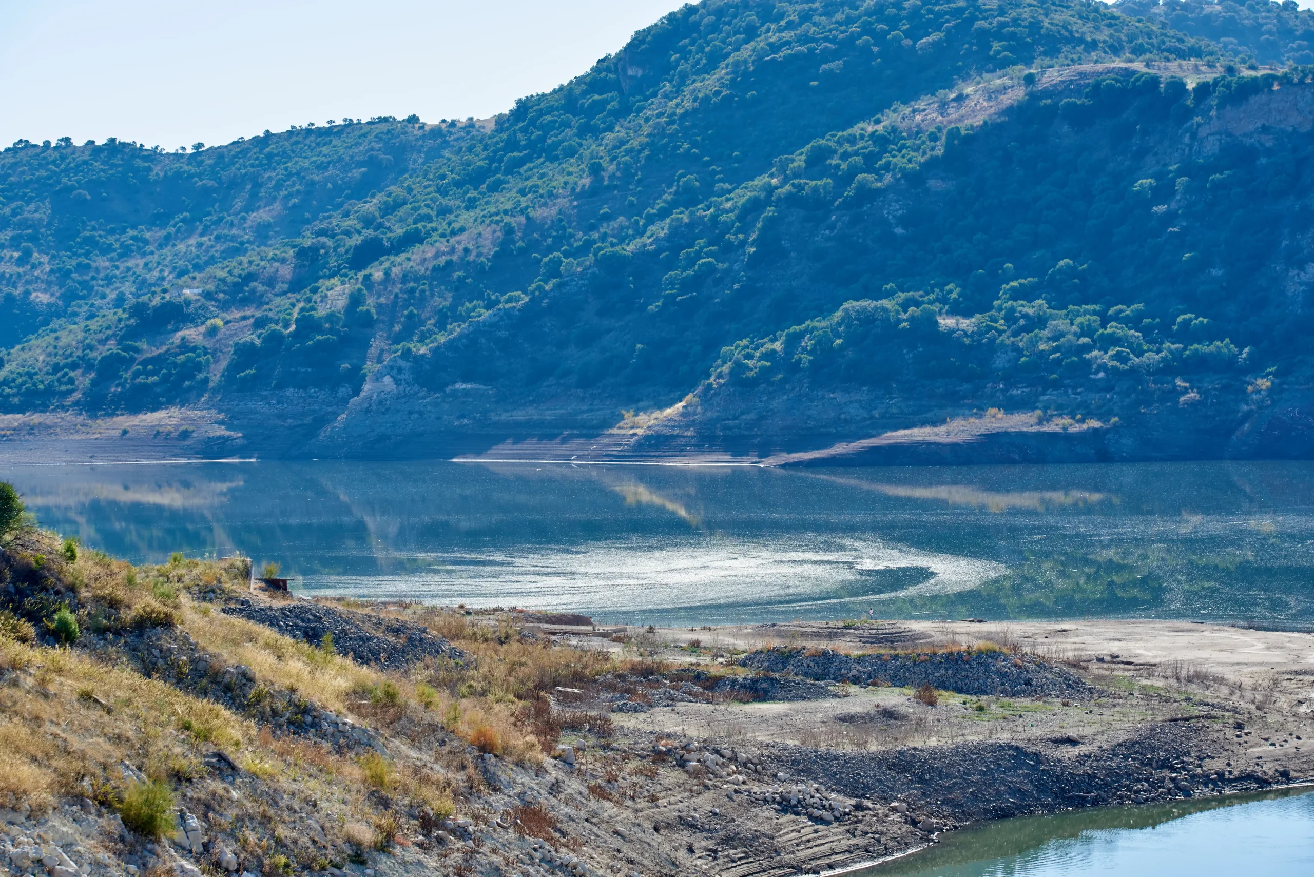
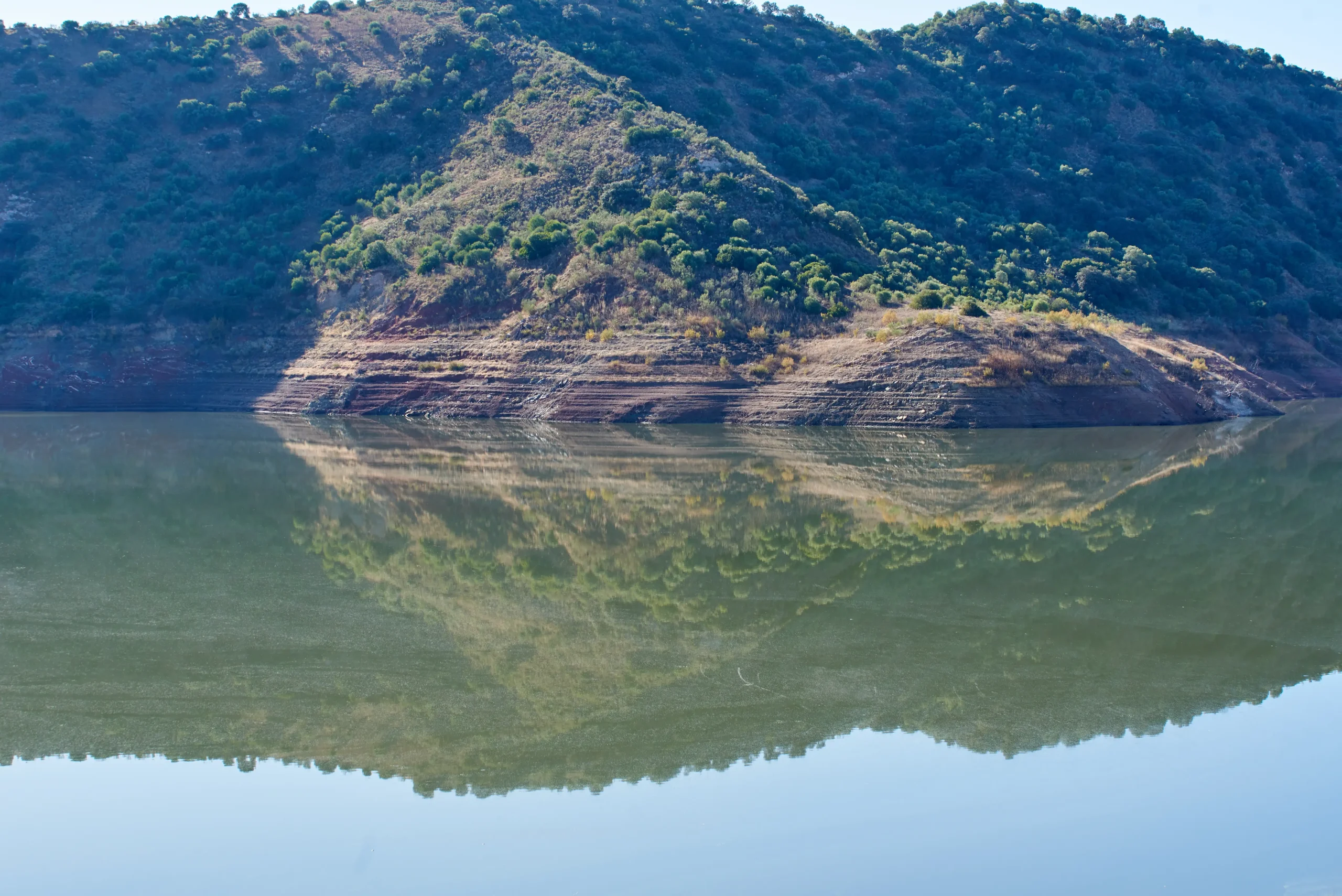
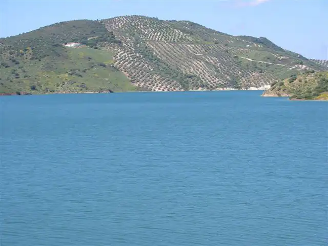
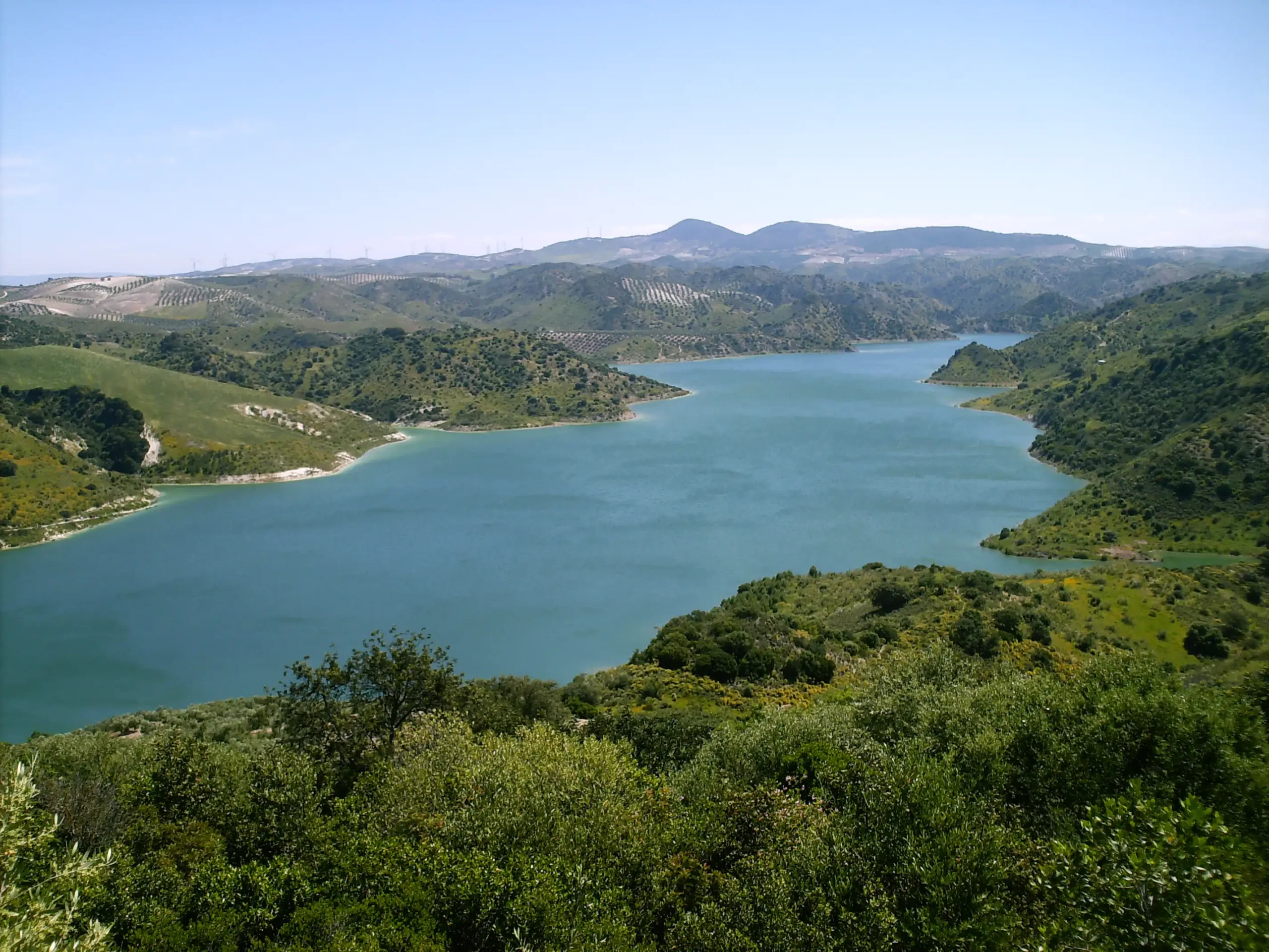
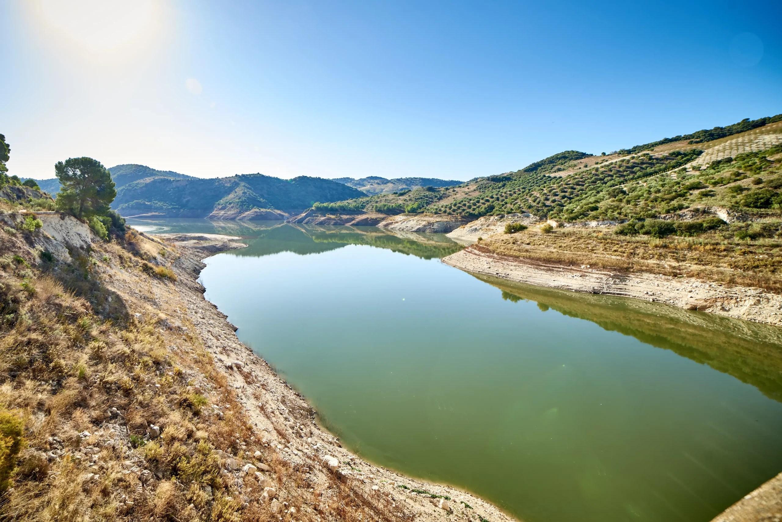
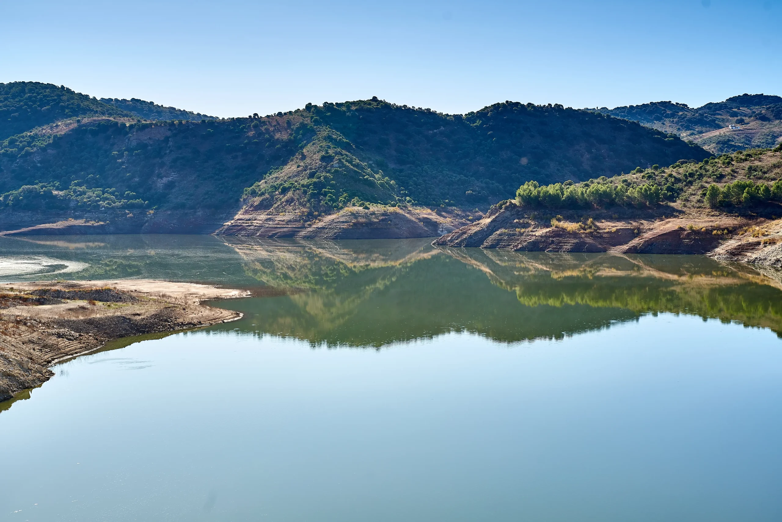
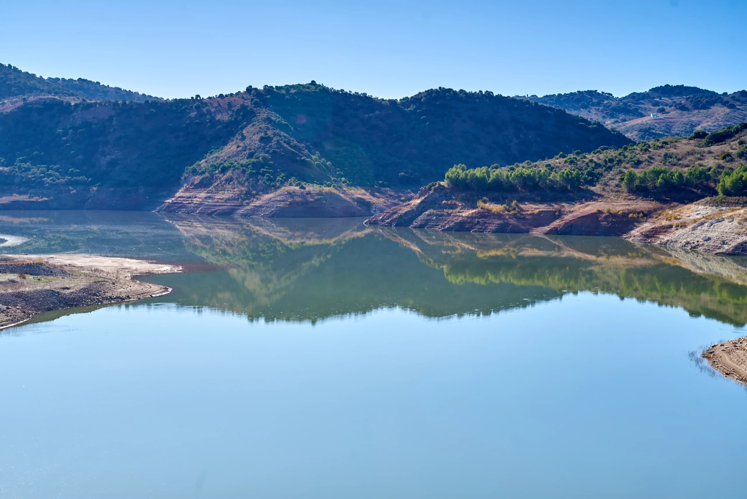
Corbones River Marsh
The Corbones River originates in the province of Málaga, in Cañete la Real, in the foothills of the Blanquilla, Mollina and Borbollones mountain ranges.
The Corbones River reservoir, which flows into the Guadalquivir River on its left bank, belongs mostly to the municipal district of Puebla de Cazalla.
This reservoir belongs to the Guadalquivir Hydrographic Confederation (Seville area) and was built in 1994.
La superficie de su cuenca es de 300 km2, el volumen del embalse es de 74 Hm3 y la superficie del embalse es de 330 hectáreas.
The dam is made of compacted concrete. The height of the foundations is 71 metres and its crest length is 220 metres. This dam was built with three objectives in mind: to regulate the river flow, to supply several villages in the Sierra Sur and to use its waters for irrigation.
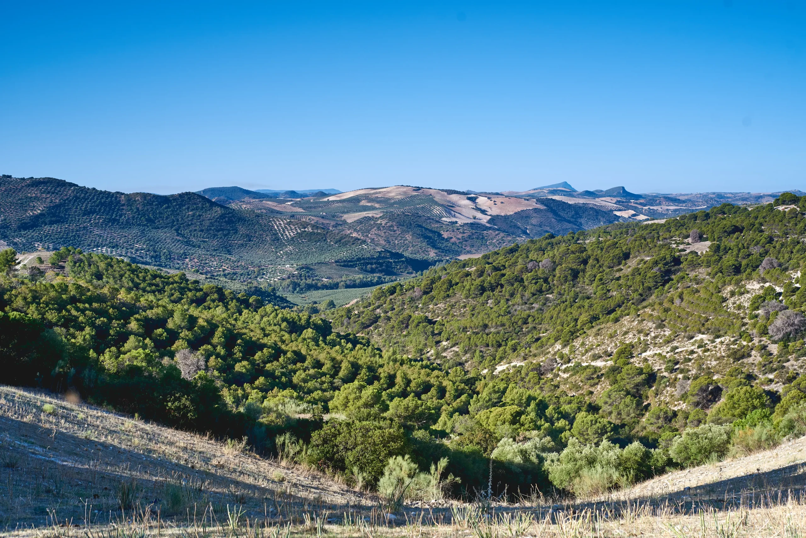
Its territorial scope corresponds to that of the Subbética mountain range in the south of the province, an area of rugged and uneven topography, with hills and slopes among which the streams and tributaries of the Corbones River have formed valleys. The climate is mild with a Mediterranean influence. The natural vegetation consists of grassland and scrub, in some places associated with holm oaks; and among the agricultural crops, occupying large areas, extensive and intensive farming and olive groves predominate. The existence of preserved natural vegetation, the presence of the Corbones River and its tributaries with their associated gallery forests are elements that make up the landscape quality of the area. The topographical characteristics of the area where it is located also provide a secluded space that is only perceptible within its immediate surroundings, with nearby but sometimes hidden boundaries.