


| TRAIL TYPE | NAME | TIME | DISTANCE |
|---|---|---|---|
| PR-A 380 | ÍPORA LOS NARANJOS | 5h y 35min | 21 km |
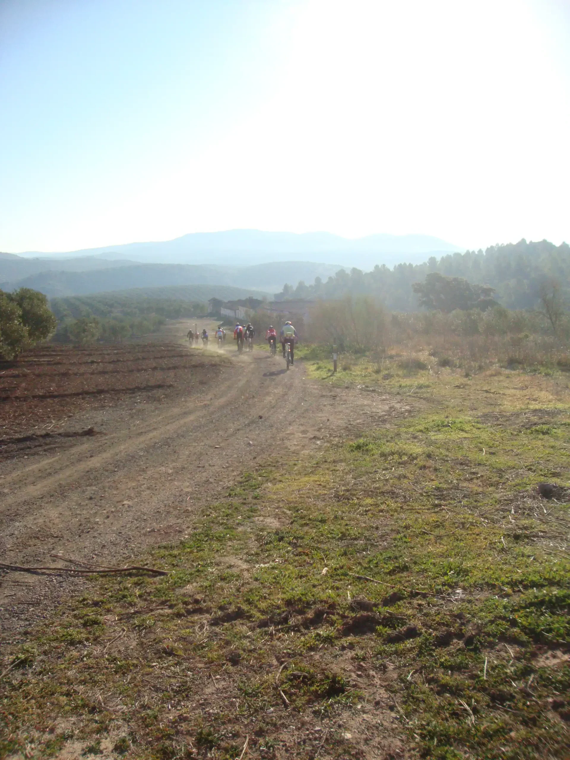
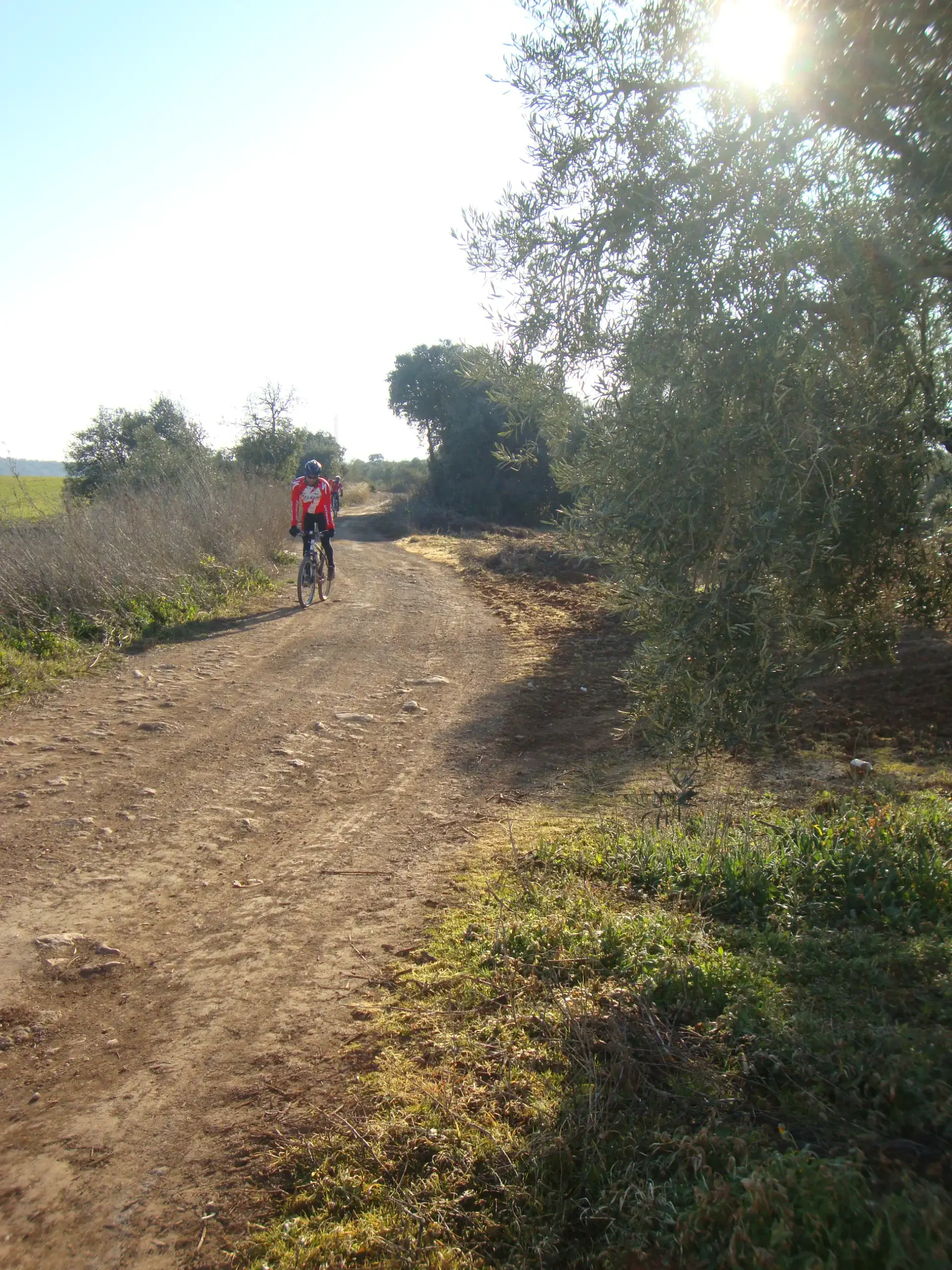
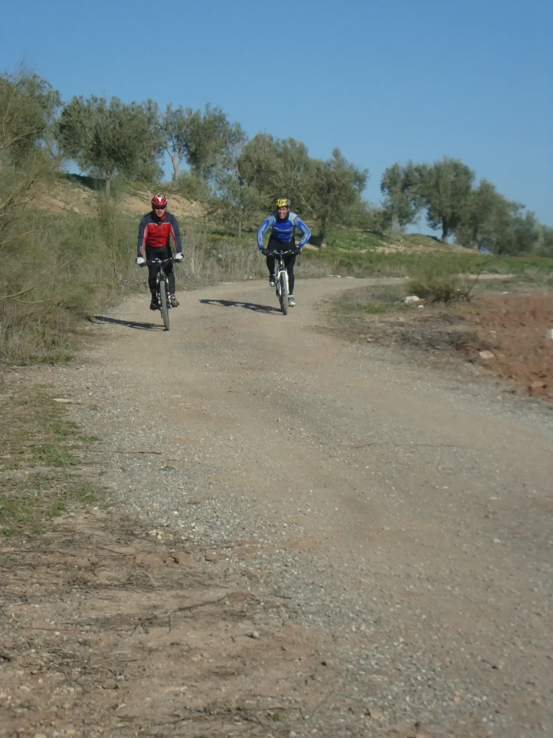
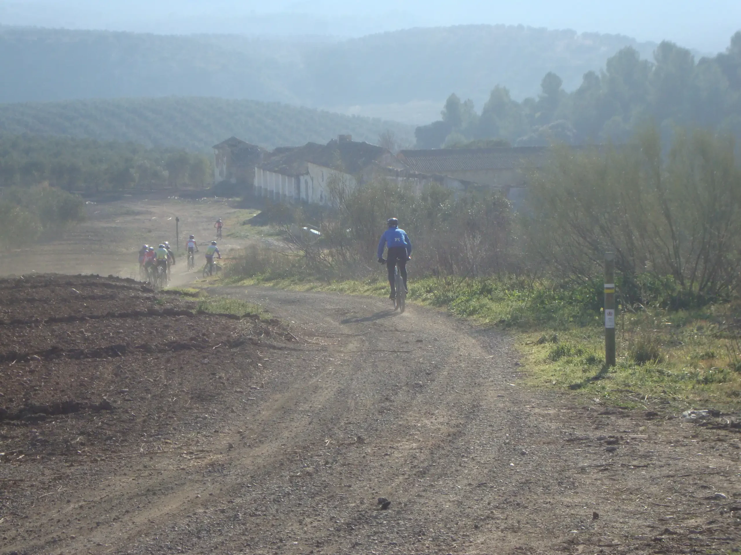
The trail begins at the underpass at km 84 of the A-92 motorway, where we will take the Ípora path, which has been stabilised with compacted gravel. We will follow this road, taking special care when crossing the level crossing located about 600 m from its start. We will then walk until we reach the Doña Laura farmhouse, and then we will find the junction of the trail with the road that leads between the Tinoco and San Lucas farmhouses. From this point, the road becomes a livestock trail called Vereda de Ípora, which we will follow, leaving the Cortijo de los Arcos farmhouse on our left until we reach the junction of the trail with the SE-485 road between Martín de la Jara and Aguadulce. At this point, we will continue straight ahead and observe how the landscape, which until now has been predominantly agricultural, gradually changes as we enter the remains of wooded pastureland surrounded by olive groves, which once again become scrubland on the tops of the surrounding hills. Next, we leave the Ípora path and join the San Agustín path, which we will follow until we reach the Blanco River. Before that, we will enjoy the beautiful black poplars of the Cerro del Soldado stream gallery forest, and then we will begin to see the Ípora farmhouse, also known as ‘Los Naranjos’.
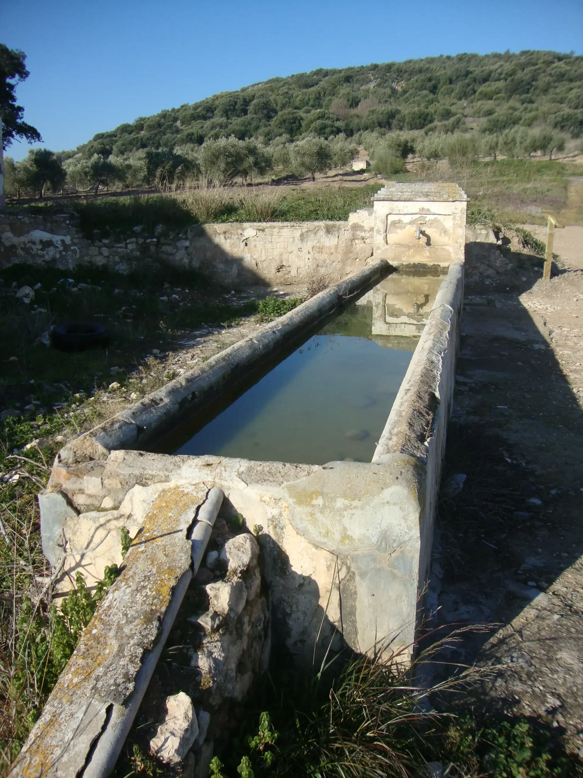
Next to the farmhouse is the Ípora or Naranjos fountain, whose waters come from a spring located a few metres higher up the hill to the west of the fountain, called Cerro del Manzano. This fountain was a real oasis for livestock passing through these parts during the hot summer months.
From here, we can continue on to the wonderful tamarisk grove of the Río Blanco, admiring the reforested pine forests of the Cerros de los Naranjos in the distance and, not too far away, the confluence of this river with the Salinoso stream.
Río Blanco and its Salinoso Stream
It is located in the south-west of the municipal area and is bordered to the south by the Blanco River itself from its entry into the municipal area, to the north by the Ípora farmstead, to the east by the course of the river itself, and to the west by the river again until it meets its tributary, the Salinoso.
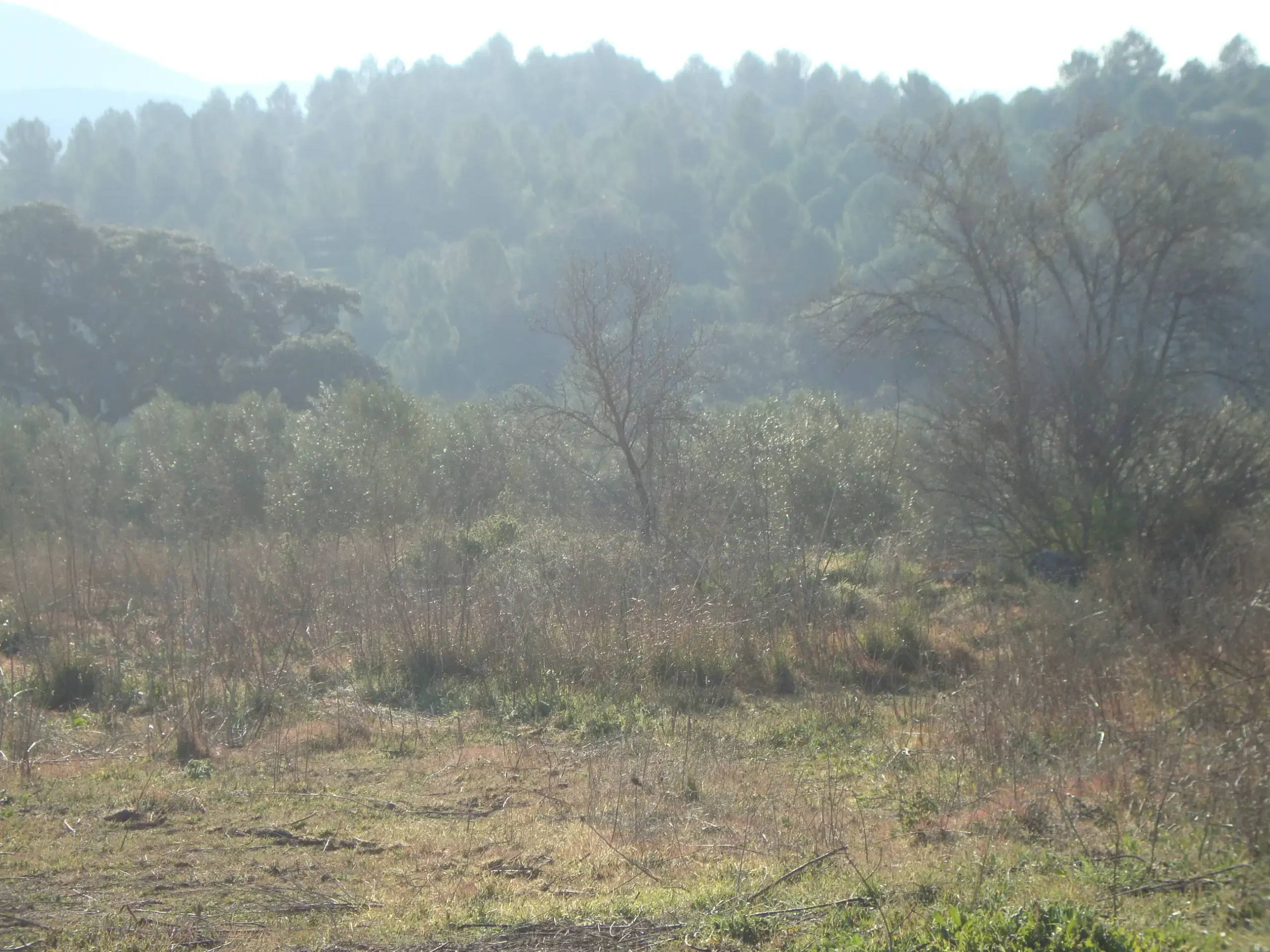
You can observe some very characteristic shapes, the result of the erosive processes to which it is subjected. Within the riverbank area, there is typical gallery vegetation, which is well preserved. Alongside this, there is a smaller amount of riverbank vegetation consisting of poplars, black poplars and blackberries.
Within the course of the river, the place known as ‘La Planada del Río’ stands out, both scenically and scientifically, where, in addition to the erosive processes on the river sedimentation, there is a meander in the process of formation.
In terms of fauna, the river boasts an excellent variety, with notable species typical of riverbanks such as the moorhen, bee-eater, nightingale, robins, etc. The rest of the fauna, which is abundant, is made up of species such as sparrowhawks, little owls, foxes, weasels, dormice, red-legged partridges, along with a large number of endangered reptiles and birds of prey, which occupy numerous limestone outcrops in the area.