


We will take the Municipal Sports Center as the starting and ending point for the route that we describe below. It is a route attended by cyclists in which we will continuously ascend until we reach the highest point located in “Pinalejo” and then we will descend abruptly to the “Corbones Reserve”. The return journey will be similar to the outward journey, but we will return on the road. We can also get to Puerto de la Encina and return or go up to «Pinalejo» and back, in our case we have traced the longest route to the «El Corbones» dam.
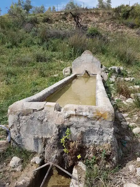
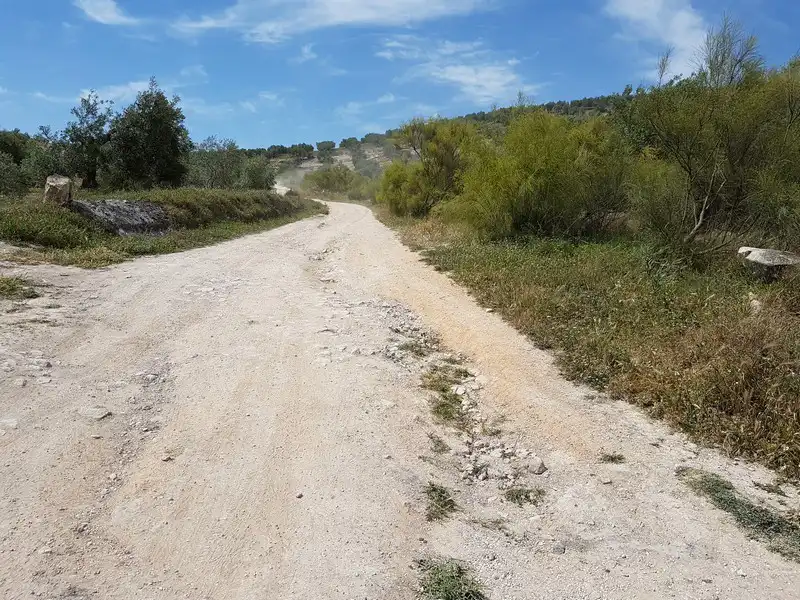
We leave the Municipal Sports Center and go to the «Vereda de La Calderona», we access it by passing under the bridge of the «A-92» once there we continue forward crossing the «Arroyo del Salado», we pass under the route made for the railway line and we keep going through the «Arroyo de Marchelina», the «Arroyo del Saltillo», the «Arroyo del Peinado» and finally the «Arroyo del Agujetero», with some caution in the latter as it is a area that is usually flooded in the rainy season.
We arrive at a crossroads where we must turn left taking the «Vereda de la Puebla a Cañete» that leads us to the «SE-8204» road (Carretera del Puerto de la Encina) passing before the «Cortijo del Agujetero».
We turn right to enter the road and continue along it until we reach “El Puerto de La Encina”. We cross this hamlet to take the “SE-466” road where after crossing a large mountainous area called “El Pinalejo” we end up at a road junction where we must take the “SE-452” turning left to continue descending towards the «Corbones Reservoir».
Once we reach the reserve we will have to do the same route back, but without leaving the “SE-8204” road (Carretera del Puerto de la Encina) until we connect with the “A-451” road (Carretera del Saucejo) which finally takes us back to Osuna.